Summer Warmth Returns for the Weekend

Temperatures will soar back into the upper 20s this weekend as southerly winds usher summer weather back into the region.

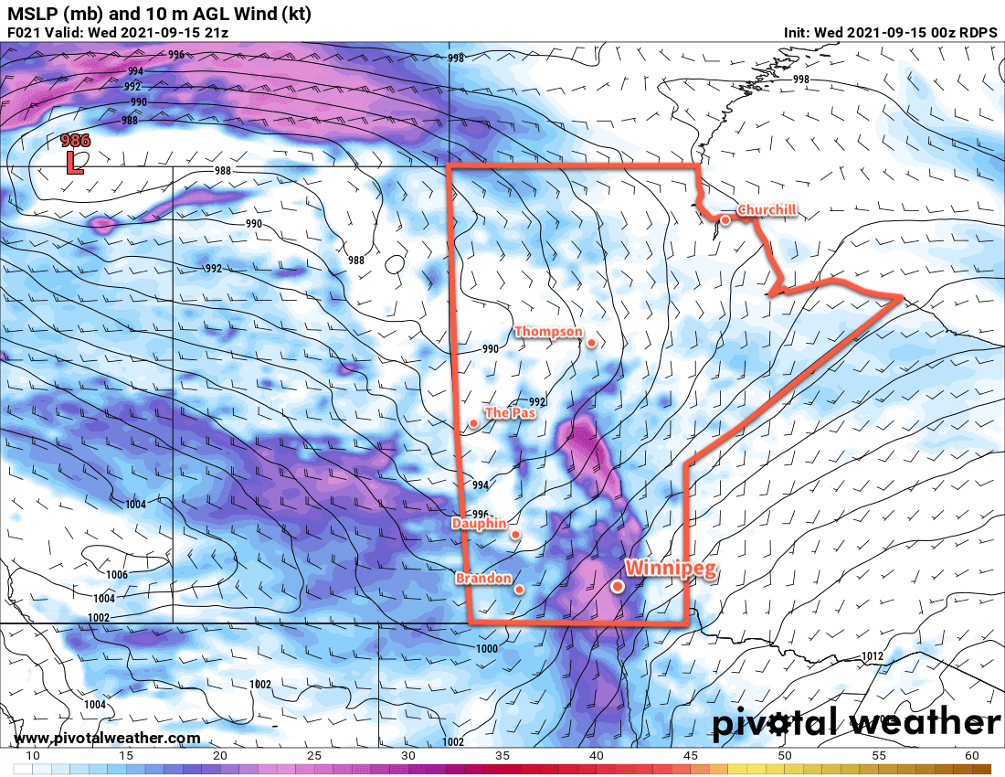
Before it warms up, Winnipeg will have a day of seasonal temperatures in the wake of yesterday’s rain system. Temperatures will climb to a high near 17 °C with partly cloudy skies from an upper low crossing the province. Breezy westerly winds this morning will ease in the afternoon as a ridge of high pressure builds in from the west. That ridge will scoot across the province quickly, already exiting into NW Ontario by this evening. Another low pressure system moving into the Prairies will push more cloud into the region tonight with strengthening southerly winds. Temperatures will dip to a low near 7 °C.

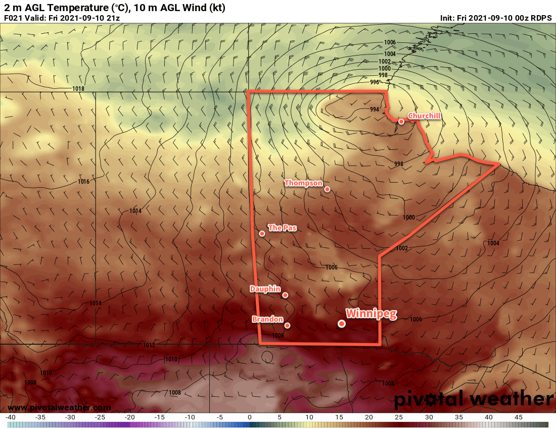
Moderate southerly winds will push a warmer air mass into the southern Prairies on Saturday. Here in the Red River Valley, southerly winds will strengthen in the morning up to 40 gusting 60 km/h. Any lingering cloud should clear out relatively quickly with a few clouds through the rest of the day. Highs will reach the mid-20s throughout the Red River Valley. More cloud will push across the region on Saturday night as a warm front moves across the Red River Valley. The southerly wind will ease through the night into the 20–30 km/h range and help keep temperatures mild with a low near 18 °C in Winnipeg.

RDPS 2m Temperature Forecast valid 21Z Sunday September 19, 2021
Very warm temperatures will move into southern Manitoba on Sunday.

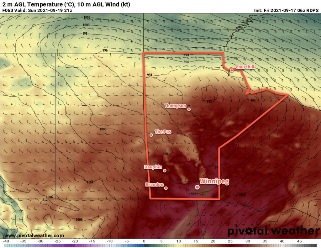
Skies will clear out again on Sunday with winds shifting westerly for the afternoon as a trough moves across the region. Temperatures will climb even higher on Sunday with highs possibly reaching up to 30 °C. A weak cold front will push through on Sunday evening, bringing a bit more cloud and cooler lows near 14 °C.

Long Range Outlook

The weather next week looks fairly benign with near-seasonal temperatures, variable cloudiness, and little chance of precipitation. Little to complain about for late September conditions!

Today’s seasonal daytime high in Winnipeg is 17 °C while the seasonal overnight low is 5 °C.

Unsettled Conditions Usher In Seasonal Temperatures

A potent low pressure system crossing the northern Prairies will bring unsettled conditions to the region as temperatures cool to seasonal values.

Winnipeg will see another day of seasonally mild temperatures as blustery southerly winds send highs into the low 20s. The winds will pick up to 30 km/h by lunch, then strengthen to 40 gusting 60 km/h through the afternoon. As this push of warmer air moves in, so will the cloud cover. A trough of low pressure will push into the region this evening and will bring a slight chance of an isolated shower or thunderstorm.

The wind will ease overnight as it shifts to the west. Skies will clear and temperatures will dip to a low near 12 °C.

RDPS 2m Wind Forecast valid 21Z Wednesday September 15, 2021
Moderate to strong southerly winds will develop over the Red RIver Valley on Wednesday afternoon.

A disturbance aloft will follow into the region on Thursday, again bringing cloudy conditions to Winnipeg. There will be a chance of showers with this system and temperatures will be cooler with a high near 18 °C. Skies will begin to clear through the afternoon across the Red River Valley as the system pushes off to the east. The stars will be out on Thursday night with temperatures dipping into the upper single digits.

The sun will make its return on Friday with partly cloudy skies and a westerly wind of 20–30 km/h. The city will see a seasonal high near 17 °C. Temperatures will dip to around 9 °C on Friday night with some cloudiness ahead of the next system moving into the region.

Long Range Outlook

Another low will cross the Prairies this weekend bringing variable cloudiness to the region and highs climbing back into mid-20s. Unsettled conditions will likely return into the first half of next week.

Today’s seasonal daytime high in Winnipeg is 18 °C while the seasonal overnight low is 6 °C.

Seasonably Mild Conditions Continue

Winnipeg will see mixed conditions over the next few days, but temperatures will stay warm for this time of year.

It will be a nice start to the day in Winnipeg with partly cloudy skies and a bit of a south breeze as temperatures warm into the low 20s. By midday, more cloud will begin working into the region as a weak cold front pushes towards the region. Much of the region will see a chance of showers through the afternoon as the cold front pushes through. Skies will then clear out overnight with temperatures dipping to a low near 9 °C.

RDPS 6hr. Accumulated QPF valid 06Z Tuesday September 14, 2021
A few showers will push across southern Manitoba later today.

Tuesday will bring plenty of sun to the city with temperatures climbing back to a high near 21 °C. Winnipeg and area will see a moderate northwest wind pick up to around 30 gusting 50 km/h. Skies will stay mainly clear through the day and the night thanks to a ridge of high pressure moving into the region. Temperatures will dip to a low near 9 °C on Tuesday night.

Another low pressure system will track across the Prairies on Wednesday. As it moves towards Manitoba on Wednesday, winds in the Red River Valley will strengthen to into the 30–40 km/h range with gusts up to 60 km/h. Skies will cloud over through the day as a warm front pushes through and temperatures climb to a high near 23 °C. There’s a slight chance that Winnipeg will see a few showers late in the day as a cold front pushes into the region, but it looks quite uncertain right now. The cloud cover will break up behind the cold front overnight with a low near 10 °C.

Long Range Outlook

Temperatures will cool to near-seasonal values for the rest of the week with variable cloudiness. It looks like the next chance for showers will be on Friday night with the potential for some elevated convection developing in the Dakotas and lifting northwards. The weekend will see highs in the low 20s with the potential for a few showers again on Saturday night.

Today’s seasonal daytime high in Winnipeg is 18 °C while the seasonal overnight low is 6 °C.

Cold Front Brings Seasonal Temperatures

After a warm Friday, a cold front will slump through the region and usher seasonal temperatures back into the region.

It will be a beautiful late-summer day in Winnipeg today as breezy southerly winds ease this morning and temperatures head to a high in the upper 20s. Skies should be partly cloudy through the day, but trend cloudier towards the evening as a cold front approaches. As the front pushes through, it will bring a slight chance of an isolated shower or thunderstorm to the region, followed by northwest winds picking up to around 30 km/h. Those winds will gradually ease into the evening as temperatures head to a low near 10 °C.

RDPS 2m Temperature Forecast valid 21Z Friday September 10, 2021
Southern Manitoba will see a warm late-summer day on Friday before more seasonal temperatures return.

An area of high pressure associated with an air mass of more seasonal temperatures will build into the province through the weekend. On Saturday, northwesterly winds will pick back up to around 30 gusting 50 km/h as temperatures head to a high around the 20 °C mark. Skies should stay mainly sunny through the day. The winds will taper off in the evening, then temperatures will head to a low near 6 °C under clear skies.

On Sunday, the area of high pressure will move across the province. Temperatures will again climb to a high around the 20 °C mark, but winds will be much lighter. Skies will also likely be mixed as a bit of cloud from a system passing by through the Dakotas drifts across the region. Skies should clear on Sunday night with a low near 10 °C again.

Long Range Outlook

The extended outlook continues to show near-seasonal temperatures, trending slightly on the warmer side. A system passing through the region may bring some afternoon/evening showers on Monday, then the city should see another couple of nice days. A few showers are possible again in the second half of the work week.

Today’s seasonal daytime high in Winnipeg is 19 °C while the seasonal overnight low is 7 °C.