A Cooler Weekend Ahead for Winnipeg

A series of low pressure systems will bring cooler weather to Winnipeg for the weekend.

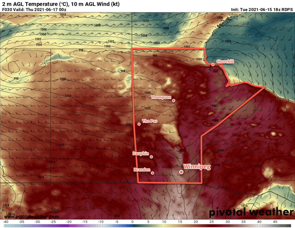
A cold front sweeping through the Red River Valley will bring substantially cooler temperatures to Winnipeg today. The front will move through this morning and usher in moderate northwest winds up to 40 gusting 60 km/h and cloudier skies. Those northwest winds will bring notably cooler temperatures to the region; Winnipeg will see a below-seasonal high around 18 °C.

Skies will clear this evening with easing winds. Temperatures will head to a low near 9 °C.

Temperatures will rebound back to seasonal values on Saturday. A weak warm front pushing into the region will send Winnipeg’s high to around 24 °C. The city will see plenty of sun with partly cloudy skies in the afternoon. Temperatures will head to a low near 14 °C on Saturday night with rain likely beginning by Sunday morning.

GDPS 12-hr Accumulated Precipitation Forecast valid 00Z Monday June 21, 2020
While many weather models show rain for Winnipeg on Sunday, some—like this GDPS run—keep things dry through the Canadian Red River Valley.

Sunday will likely bring morning rain to Winnipeg as a frontal wave passes along the international border. The city could see as much as 5 to 10 mm of rain before it eases midday. For the second half of the day, the cloud cover will begin to break up as moderate northerly winds of 40–50 km/h develop. These winds will keep the temperature cooler as well; Winnipeg will see a high near 17 °C on Sunday.

Skies will clear with a low near 6 °C on Sunday night. The wind is forecast to ease into the 20–30 km/h range overnight.

Long Range Outlook

The cool weather will persist through the first half of next week. Daytime highs will gradually climb from the mid-teens to seasonal values by Wednesday. Mainly sunny conditions should be in place to start the week, but more unsettled conditions are forecast for the latter half.

Today’s seasonal daytime high in Winnipeg is 24 °C while the seasonal overnight low is 11 °C.

Windy Second Half of Week Ushers in Cooler Weather

A low pressure system crossing the northern Prairies will bring a surge of cooler air for the weekend.

Winnipeg will see moderate winds today that will bring hot weather to the region. With plenty of sun, southerly winds will increase into the 30–40 km/h range this morning. Those gusty winds will send temperatures climbing to a high near 32 °C this afternoon with increasing humidity. A trough will move into the Red River Valley mid-afternoon, bringing a few clouds and the chance of scattered showers or thunderstorms. West-northwest winds of 20–30 km/h will develop this evening behind the trough and gradually diminish overnight.

RDPS 2m Temperature Forecast valid 00Z Thursday June 17, 2021
The Red River Valley will see very warm temperatures today with highs in the low 30s.

Winnipeg will see moderate west-northwest winds behind the front on Thursday. Temperatures will still be fairly warm with a high near 28 °C with a drier air mass over the region. The winds will peak in the afternoon at 40 gusting 60 km/h then ease to around 20 km/h overnight. Temperatures will head to a low near 13 °C.

Another cold front will slump into southern Manitoba from the north on Friday. It will bring cloudier conditions to the region along with moderate northwest winds near 30 km/h. There may end up being a chance of showers, but much of the activity will likely pass to the east. It will be a noticeably cooler day with a below-seasonal high near 18 °C in Winnipeg. The city will see clearing skies and a low near 9 °C on Friday night.

Long Range Outlook

Temperatures will remain seasonal to below-seasonal in Winnipeg for the weekend and into next week. Saturday looks to be a pleasant day, however clouds and the chance of showers return for Sunday and Monday. This unsettled pattern will continue into mid-week before things begin warming up in the latter half of the week.

Today’s seasonal daytime high in Winnipeg is 24 °C while the seasonal overnight low is 11 °C.

A Few More Showers Before the Sunshine

Winnipeg will see a few more showers or thunderstorms today before sunnier conditions return to the region.

A low pressure system lifting through the province this morning will bring more unsettled weather to the Red River Valley. This system produced widespread thunderstorm activity over Montana and southern Saskatchewan yesterday that continued through the night and moved into southern Manitoba. The remnants of that nocturnal convection will move over the Red River Valley this morning, bringing a good chance of showers or thunderstorms to Winnipeg through the morning hours. Once this initial line passes, some sunny breaks should develop for the afternoon hours.

NAM Simulated Reflectivity Forecast valid 15Z Friday June 11, 2021
A band of showers and thunderstorms is forecast to move across the Red River Valley early Friday morning.

Winds will be breezy out of the southeast through the morning near 30 gusting 50 km/h. Once the line passes, they’ll shift southerly and strengthen to 40 gusting 60 km/h for the afternoon. Temperatures will reach a high around 21 °C today then head to a low near 14 °C tonight with clearing skies. Winds will stay out of the southwest overnight as they ease to around 30 km/h.

On Saturday, the upper-level pattern will change as a broad ridge begins building over western Canada. This will bring sunny skies to Winnipeg for the weekend with highs climbing into the upper 20s. Westerly winds will continue on Saturday at around 30 km/h, then ease on Saturday night. The winds will stay light on Sunday as a high pressure system moves into the province.

Long Range Outlook

The sunny and warm weather will continue through next week with highs in the mid- to upper-20s, lows in the mid- to upper-teens, and comfortable humidity levels.

Today’s seasonal daytime high in Winnipeg is 23 °C while the seasonal overnight low is 10 °C.

Seasonal Warmth Returns to Winnipeg

Winnipeg will see temperatures climb back towards seasonal values after this week’s late-season cold snap.

A low pressure system crossing the northern Prairies will usher warmer conditions back to southern Manitoba. Under sunny skies, southerly winds will increase to 40 gusting 60 km/h this afternoon. Temperatures will climb into the upper teens; Winnipeg should see a high near 19 °C. Tonight, an approaching trough will keep winds around 30 km/h as it spreads clouds into the region. Temperatures will dip to a low near 9 °C in Winnipeg.

On Saturday, Winnipeg will see cloudier skies as the trough moves into the Red River Valley. It will bring a chance of showers to the region, but it will weaken through the day as its main energy source pulls away to the south. Winds will stay out of the south again in the 30–40 km/h range. The winds will finally ease on Saturday night to 15–25 km/h with a low near 10 °C.

RDPS 2m Temperature Forecast valid 21Z Sunday May 30, 2021
Warmer weather will return to Winnipeg this weekend.

On Sunday, a weak cold front will sweep through the region. It won’t bring more than partly cloudy skies with breezy northwest winds for the afternoon. The high in Winnipeg will be around 22 °C. Skies will stay clear on Sunday night with a low near 7 °C.

Long Range Outlook

Next week looks mainly dry across the Red River Valley with highs in the mid-20s. Overnight lows should see a boost and stay in the low to mid-teens through the week.

Today’s seasonal daytime high in Winnipeg is 22 °C while the seasonal overnight low is 8 °C.