Warm Holiday Monday Followed by Mid-Week Cool-Down

Winnipeg will see a beautiful holiday Monday followed by a quick reminder that colder weather lurks not so far away.

Winnipeg will see temperatures climb today as a push of warmer air moves through the region. It will start off this morning with some cloud and a chance of showers as an occluding trowal lifts through the region. Moderate south-southwest winds of 30–40 km/h will persist through the day as skies clear behind a weak cold front. The region will see markedly warmer temperatures than yesterday with a high near 25 °C. Winds will ease in the evening as temperatures head to a low near 14 °C under mainly clear skies.

RDPS 2m Temperature Forecast valid 21Z Monday May 24, 2021
Southern Manitoba will see a mild temperatures for the holiday Monday with highs in the mid-20s.

A low pressure system will push eastwards out of Saskatchewan across Manitoba on Tuesday. As it moves into the region, Winnipeg will see increasing cloud and southwest winds near 30 km/h. Temperatures will climb to a high near 19 °C by late in the morning. A cold front will sweep through the Red River Valley as the low passes in the afternoon. This will bring scattered showers into the region along with moderate northwest winds up to 40 gusting 60 km/h. The chance for showers will taper off into the evening, but the moderate northerly winds will continue for much of the night. A large Arctic ridge will push into the region behind the cold front, sending Winnipeg’s low close to the freezing mark by Wednesday morning.

That Arctic high will lay across the entirety of Manitoba on Wednesday, bringing a cool day to the region. Winnipeg will see a high only around 11 °C with northerly winds near 20 km/h. With that late-May sunshine, a sunny start to the day will likely see some afternoon cumulus clouds despite the cool temperatures. Skies will stay mainly clear on Wednesday night with light winds. Temperatures will likely dip below freezing in outlying areas, and drop close to freezing closer to the city centre.

RDPS 2m Temperature Forecast valid 12Z Thursday May 27, 2021
…and the mighty have fallen; much colder temperatures will arrive mid-week. Much of southern Manitoba will see a hard freeze or risk of frost Tuesday night and Wednesday night.

This Arctic high will bring a risk of frost to much of southern Manitoba on both Tuesday night and Wednesday night. Areas north of the Trans-Canada highway as well as southwestern Manitoba will likely see a hard freeze. For the Red River Valley, frost is more likely in rural areas than in the City of Winnipeg. While it’s less likely to freeze in the city centre, open and outlying areas of the city will see a higher risk of frost both nights. Temperatures are not forecast to drop much below zero in the Red River Valley, and will recover quickly above freezing both Wednesday and Thursday morning.
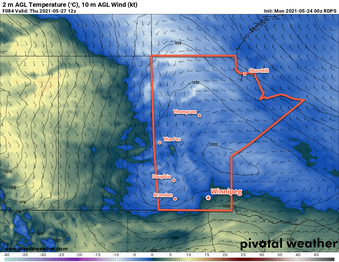
Long Range Outlook

Temperatures will recover through the rest of the week back towards seasonal values with partly cloudy skies. A weak low passing on Saturday will bring more cloud and a chance of showers to the region. After that, it looks like a nice stretch of seasonal temperatures with variable cloudiness will start off the next week.

Today’s seasonal daytime high in Winnipeg is 21 °C while the seasonal overnight low is 7 °C.

Seasonably Cool with Plenty of Sunshine

A ridge of high pressure will continue to bring ample sunshine and seasonably cool temperatures to Winnipeg.

Winnipeg’s forecast for the next few days is light work: seasonably cool and sunny. A stubborn ridge of high pressure will sit over the region the next few days. With little movement in the feature, the weather won’t change much either. The city will see plenty of sunshine with highs near 12 °C and lows around the freezing mark.

RDPS MSLP and 10m Wind Forecast valid 21Z Thursday May 6, 2021
A broad area of high pressure over the Prairies will bring breezy conditions to southern Manitoba on Thursday.

Winds climb into the 20–30 km/h range today and the 30–40 km/h range on Thursday. They will ease each night and stay lighter on Friday as the ridge axis moves over the region.

Long Range Outlook

The region will see more of the same this weekend, then the pattern will break down next week. Forecasts show a return to seasonal temperatures early next week with partly cloudy conditions.

Today’s seasonal daytime high in Winnipeg is 17 °C while the seasonal overnight low is 3 °C.

Cool But Pleasant Weather Ahead

Winnipeg will see seasonably cool spring weather this week with plenty of sunshine.

Winnipeg will see some lingering cloud with a chance of showers today in the wake of yesterday’s disturbance that moved across the region. The cloud cover will gradually break up through the day with the best chance for showers in Winnipeg late in the morning. The region will see a persistent north wind near 30 gusting 50 km/h through the day today. Temperatures will reach a seasonably cool high near 10 °C.

RDPS MSLP and 10m AGL Wind Forecast valid 21Z Tuesday May 4, 2021
An area of high pressure extending from the Northwest Territories through southern Manitoba will dominate the weather pattern over the coming week.

A ridge of high pressure will build into the region tonight and bring clearing skies as the winds ease. Temperatures will head to a low near -3 °C.

This ridge of high pressure will dominate the weather pattern through the rest of the week. Winnipeg will see plenty of sunshine both Tuesday and Wednesday with highs near 10 or 11 °C and lows dipping just below freezing. Winds will pick up out of the north-northwest into the 20–30 km/h range each day and ease for the night.

Long Range Outlook

This ridge will stick around right into the weekend, bringing quiet weather and seasonably cool temperatures to the region. Forecasts show this pattern breaking down next week with seasonal temperatures returning. No rain is forecast.

Today’s seasonal daytime high in Winnipeg is 17 °C while the seasonal overnight low is 3 °C.

Warmer Weather Pushing in For Saturday, Then Cooler With Showers

It will be a windy transition day in Winnipeg today as a warm front pushes across the region. Heading through the weekend, a mild Saturday will give way to unsettled conditions on Sunday.

A warm front will push eastwards across the province today, bringing afternoon cloud and breezy southerlies to Winnipeg. Temperatures will climb to a high near 13 °C with south winds increasing to 40 gusting 60 km/h midday. The city will see a sunny start to the day, but clouds will move in for the afternoon ahead of the warm front. There may be a slight chance of a rain shower in the evening as the front moves through, then skies will clear up for the night. The city will see a low near 5 °C with easing winds.

An upper ridge over the region will bring mild weather to Winnipeg on Saturday. Under partly cloudy skies, the city will see a high near 21 °C with northerly winds up to 20 km/h. More organized cloud cover will begin to move into the region late in the day as an upper trough approaches. There will be a chance of showers overnight with a low near 6 °C.

RDPS 2m Temperature Forecast valid 21Z Saturday May 1, 2021
Southern Manitoba will see daytime highs climbing into the 20s on Saturday.

On Sunday, skies will stay on the cloudier side as the upper trough slowly moves through the region. Some sunny breaks are likely, but the region will also see a good chance of showers. Winds will stay out of the north at 20–30 km/h and highs will be cooler at around 13 °C. The chance for showers will taper off Sunday night with a low near +1 °C.

Long Range Outlook

Forecasts show a fairly stable pattern next week with daytime highs in the low to mid-teens and overnight lows in the 0–4 °C range. The start of the week is forecast to be fairly sunny, though mid-week might be a bit cloudier. The forecast shows no notable chances for rain.

Today’s seasonal daytime high in Winnipeg is 16 °C while the seasonal overnight low is 2 °C.