A slow-moving disturbance will bring unsettled conditions to the Red River Valley this weekend.
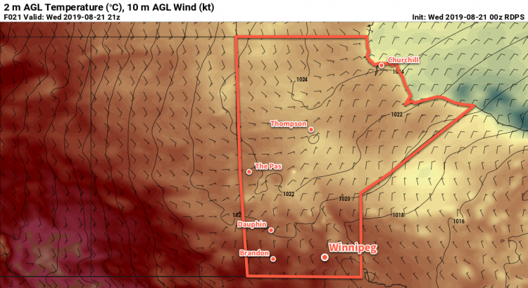
Winnipeg will see a beautiful end to the work week today as temperatures return to the upper 20s with plenty of sunshine. That warmth will come with breezy conditions as southerly winds strengthen to 30 gusting 50 km/h this morning. The city should see partly cloudy skies for much of the day, but cloud cover will thicken up in the evening.
It will be a warm night tonight with temperatures only dropping to around 19°C under cloudy skies. The southerly winds will continue right through the night.
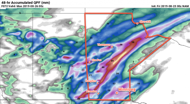
Showers and/or thunderstorms will develop over western Manitoba overnight and slowly push northeast. This activity will likely stay west and north of Winnipeg, but there’s a chance that passing showers may graze Winnipeg on Saturday morning.
Through the rest of Saturday, the city will see cloudy skies with winds continuing to strengthen to 40 gusting 60 km/h out of the south. Showers and/or thunderstorms are likely through the day to the west and north of the city, but they will slowly push eastwards through the day. Despite the cloud, it will still be fairly warm with a high near 25°C.
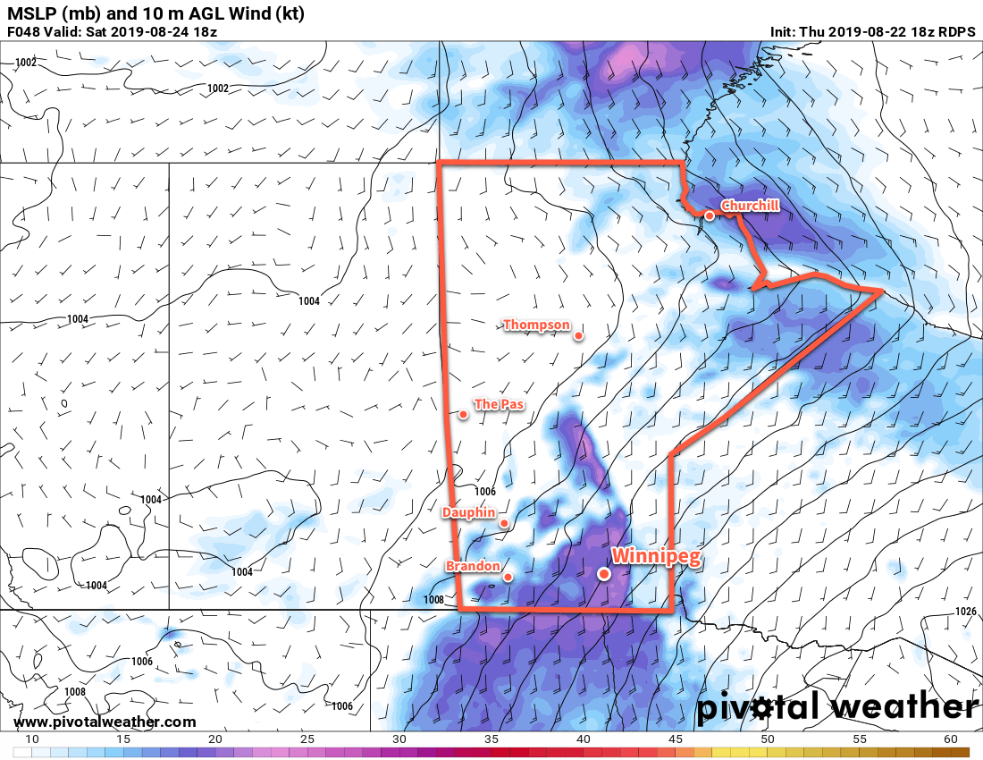
The wind will continue through Saturday night in the 30 to 40 km/h range. Skies will stay cloudy through the night with temperatures dropping to a low near 17°C.
Showers will slowly move eastwards into the region overnight with what looks like a good chance of some rain before the sun rises on Sunday. There will be a risk of a thunderstorm with the showers pushing eastwards overnight.
Winnipeg will see unsettled conditions with showers likely on Sunday and a risk of a thunderstorm. The wind will continue out of the south near 30 gusting 50 km/h, but temperatures will be cooler with a high near 22°C. The entire region will see a good chance of showers with the risk of a thunderstorm right through the day. More showers with the risk of a thunderstorm will be possible Sunday night. Temperatures will dip to a low near 16°C with winds easing through the night.
It’s important to note that weekend’s system is moving slowly, and will have the potential of producing very slow-moving lines of thunderstorms as it trudges eastwards. The slow progression of these storms means they will be capable of producing significant rainfall accumulations with a risk of flash flooding. Be sure to stay aware of ECCC’s daily thunderstorm outlook available on our bulletin viewer and for any watches or warnings issued through the weekend.
Long Range Outlook
The unsettled conditions will likely stay for Monday before gradual clearing begins working into the region on Tuesday. As the sun appears next week, so too will a prolonged stretch of seasonably cool weather. Daytime highs are forecast to drop into the mid- to upper teens for much of the next week.
Today’s seasonal daytime high in Winnipeg is 24°C while the seasonal overnight low is 11°C.