Warm Temperatures Continue Through The Week

Above-seasonal temperatures under variable cloudiness will persist in Winnipeg through the rest of the work week.

Winnipeg’s weather story for the rest of the week will be one that sees the region grazed by disturbances passing to the south and to the north. The city won’t see much chance of precipitation as these move by, but they will provide plenty of cloud over the next three days.

The city will see mostly cloudy skies today as a low pressure system crosses the American Plains towards Lake Superior. The organized rain associated with this system will stay south of the border, but there may be a few showers that extend from southwestern Manitoba into the Red River Valley. These showers will likely miss the city and stay further south in the valley. The city will see a high near 13°C with light winds. Some of that cloud will break up tonight, allowing temperatures to drop to a low near +2°C.

Thursday will bring mixed skies to the region as the cloud from the American system continues to clear out but more cloud begins pushing in from the west. The wind should continue to be light and temperatures will be pleasant with a high near 15°C. During the #WPGWhiteout party, it looks like temperatures will be around 13°C for the start of the game. Temperatures will cool to around 8°C by the time the game ends. A bit of cloud will push in overnight as the city heads to a low near +3°C.

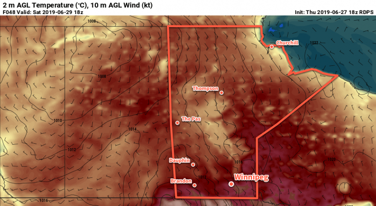
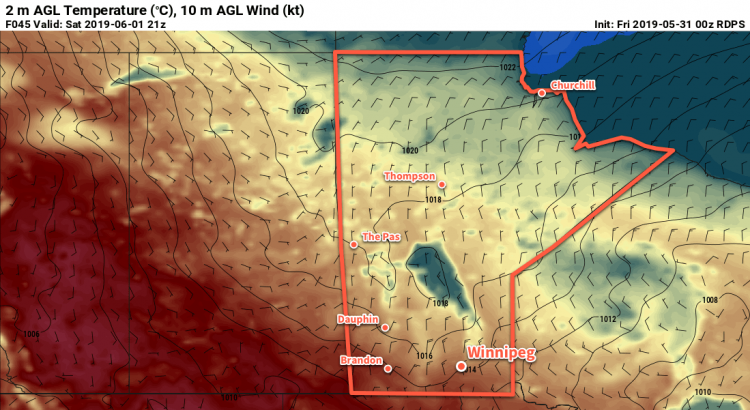
Windy and warm conditions will develop across southern Manitoba on Friday.

Skies will cloud back over on Friday as the next disturbance tracks across the northern Prairies. As it approaches, southerly winds will increase to 30 gusting 50 km/h. These southerly winds will draw milder air northwards from the United States. As a result, Winnipeg will see temperatures climb to a high near 17°C despite the cloudy skies. A low pressure system moving into southern Manitoba on Friday night will then spread a chance of rain into the region overnight. The wind will keep up much of the night, finally tapering off on Saturday morning. Because of the cloudy and breezy conditions, Winnipeg will see a mild low near 8°C on Friday night.

Long Range Outlook

Saturday will bring the chance of rain to the city as a low pressure system moves through the region. After it exits the region Saturday evening, variable cloudiness with near-seasonal temperatures will move in to end the weekend and kick off the work week.

Today’s seasonal daytime high in Winnipeg is 11°C while the seasonal overnight low is -1°C.

Seasonably Cool Wednesday Turns Unsettled For Thursday

A mix of rain and snow will move through Winnipeg on Thursday, marking the start of an unsettled warm-up for the weekend.

Today will be a sunny but cool day in Winnipeg as a ridge of high pressure moves through. With light winds, temperatures will climb to a high near +1°C. Skies will stay mostly clear tonight with temperatures dropping to a low near -6°C.

Weather returns to the region on Thursday as a warm front moves through ahead of a low pressure system in Saskatchewan. Skies will cloud over early in the day with southerly winds increasing to 40 gusting 60 km/h. By mid- to late-afternoon, a wintery mix of precipitation will work its way across the Red River Valley. The rain/snow will exit the region early in the evening, leaving behind light winds, cloudy skies, and a chance of drizzle. Winnipeg will see a low near 0°C on Thursday night.

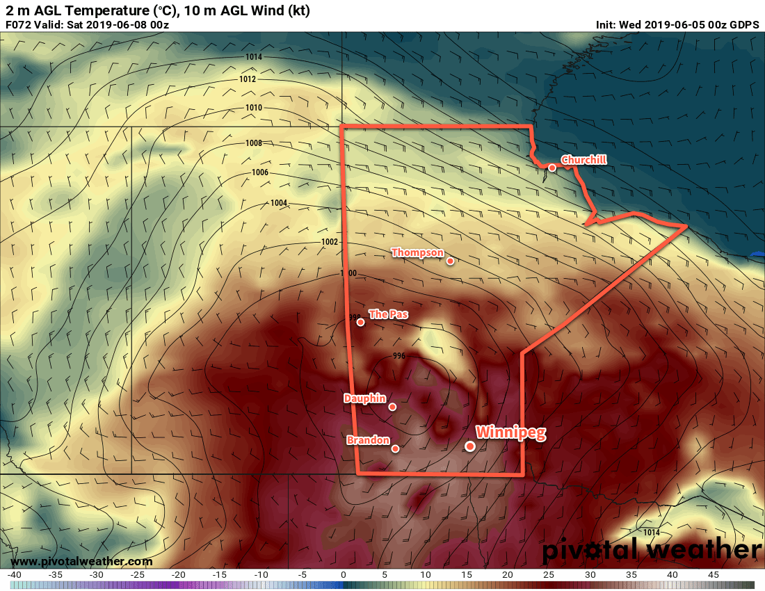
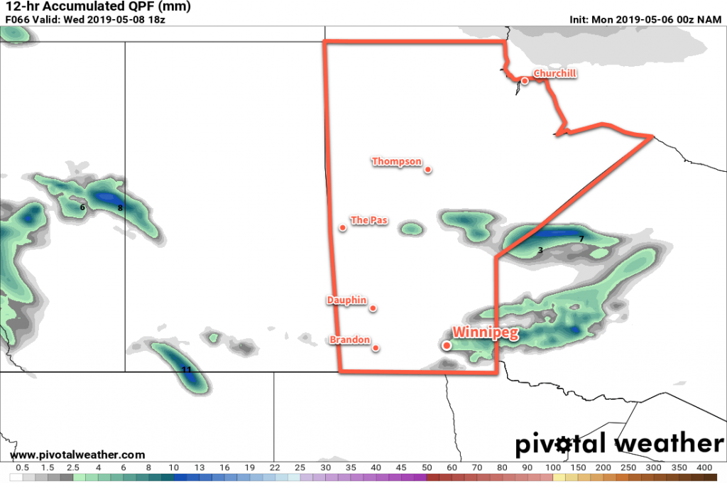
Much of southern Manitoba will see some amount of a sloppy wintery mix of precipitation on Thursday.

Skies will start off cloudy on Friday morning with a continued chance of drizzle, then a weak cold front will push through the region. Skies should begin to clear in the afternoon with temperatures reaching a high near 6°C. The reprieve will be short-lived, though as more cloud pushes in overnight ahead of the next disturbance. Temperatures should dip to around -3°C on Friday night.

Long Range Outlook

Winnipeg’s weekend looks mild thanks to a southwesterly flow developing aloft. Unfortunately, that also means rather unsettled conditions with a fair amount of cloud and a couple chances for precipitation. Temperatures will climb into the teens, though, with overnight lows likely remaining above zero. It appears that conditions will gradually settle next week with a return towards seasonal temperatures.

Today’s seasonal daytime high in Winnipeg is 6°C while the seasonal overnight low is -5°C.

Favourable Melt Weather Continues With Near-Seasonal Temperatures

The Red River Valley will continue to see excellent melt conditions to start the week with near-seasonal temperatures and little precipitation.

Today will be the warmest day of the next three for Winnipeg. A low pressure system crossing northern Manitoba will draw warmer air across the southern half of the province. West-southwest winds of 20 to 30 km/h will send Winnipeg’s high to a seasonal 6°C. The city will see mixed skies through much of the day. The cloud cover will thicken up overnight as a cold front approaches. Winnipeg should see a low near -3°C tonight.

A cold front will push through Winnipeg on Tuesday morning, bringing a chance of flurries and northwesterly winds of 30 gusting 50 km/h. The chance for flurries should end midday, but the city will continue to see mixed skies through the afternoon. Daytime highs will be cooler behind the cold front; Winnipeg should reach around 0°C. A ridge of high pressure will build into the region on Tuesday night, bringing clearing skies and diminishing winds. The temperature drops to a low near -6°C.

Convectively driven flurries and/or showers will move across southern Manitoba on Tuesday morning.

Wednesday will be a pleasant day for Winnipeg. The ridge of high pressure will keep winds relatively light and keep skies sunnier than not. The city will see a high near 3 or 4°C, but the light winds will help it feel warm. On Wednesday night, southeasterly winds will begin to develop ahead of a low pressure system developing over Saskatchewan. These winds will help keep the low a bit milder near -3°C, but also likely bring in some cloud cover towards Thursday morning.

Long Range Outlook

Winnipeg will see unsettled conditions on Thursday into Friday as a low pressure system moves through and a cold front drops southwards. There’s a good chance the city may see some rain, particularly late Thursday, but outside of that it looks like it will be cloudier with just a chance of precipitation. This disturbance will help shift the Prairies into a more zonal flow, bringing a more sustained warm-up through the weekend into next week.

Today’s seasonal daytime high in Winnipeg is 5°C while the seasonal overnight low is -6°C.

Northwest Flow Brings Near-Seasonal Temperatures And Flurries

A persistent northwesterly flow will bring near-seasonal temperatures to Winnipeg for the weekend along with a couple chances for flurries.

Winnipeg will start off today with cloudy skies and some flurries moving though the region. This unsettled weather is the result of a low pressure system called a “Mackenzie Low” moving through the region.1 Winnipeg won’t see much more than some flurries; most of the snow is falling through central Manitoba. A cold front will swing through midday, ushering in northerly winds up to 40 gusting 60 km/h. The cloud cover will break up and clear out through the afternoon behind the cold front. The daytime high will be a near-seasonal +2°C, but temperatures will slowly fall behind the cold front to around -2°C by the evening. Temperatures will drop to a low near -10°C under mainly clear skies tonight. Those northwesterly winds will gradually ease through the evening.

The Mackenzie Low crossing the province today will bring flurires to Winnipeg, but central Manitoba will see accumulating snow.

On Saturday, Winnipeg will see partly cloudy to mixed skies as a ridge of high pressure moves through. Winds will pick back up out of the northwest to around 20 km/h as temperatures climb to a high near +1°C. On Saturday evening, more cloud will begin working into the region as another Mackenzie Low approaches. This one will be much weaker than the last, bringing just a few flurries or light snow to the region. Temperatures will dip to a low near -4°C.

The city should see mixed skies on Sunday with a continued chance of flurries through the morning. Winds will pick up from the northwest at 20 km/h and temperatures should climb to a high near +3°C. Temperatures will dip to a low near -4°C on Sunday night under mixed to cloudy skies.

Long Range Outlook

Seasonal temperatures will gradually increase to above-seasonal temperatures next week as the northwesterly flow aloft breaks down, giving way to a more westerly flow. This pattern change will result in a constant stream of quick-moving disturbances, though, likely bringing variable cloudiness and occasional chances for precipitation.

Today’s seasonal daytime high in Winnipeg is +4°C while the seasonal overnight low is -7°C.

  1. A Mackenzie Low is a compact but moderately strong low pressure systems that develop over the Mackenzie region of the Northwest Territories and then typically progress southeastwards, embedded within a broad northwesterly flow.