A persistent northwesterly flow will bring near-seasonal temperatures to Winnipeg for the weekend along with a couple chances for flurries.
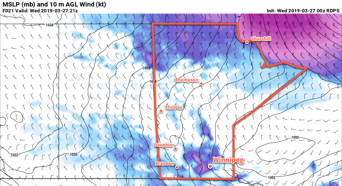
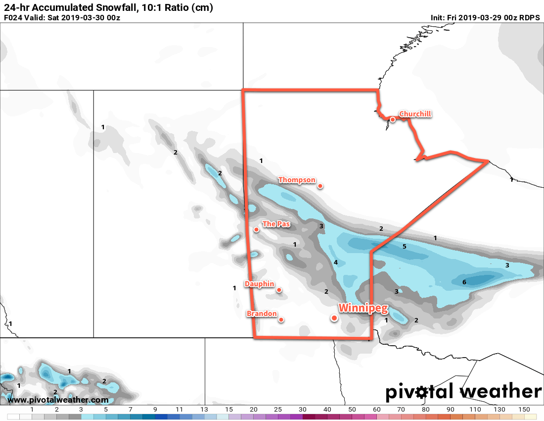
Winnipeg will start off today with cloudy skies and some flurries moving though the region. This unsettled weather is the result of a low pressure system called a “Mackenzie Low” moving through the region.1 Winnipeg won’t see much more than some flurries; most of the snow is falling through central Manitoba. A cold front will swing through midday, ushering in northerly winds up to 40 gusting 60 km/h. The cloud cover will break up and clear out through the afternoon behind the cold front. The daytime high will be a near-seasonal +2°C, but temperatures will slowly fall behind the cold front to around -2°C by the evening. Temperatures will drop to a low near -10°C under mainly clear skies tonight. Those northwesterly winds will gradually ease through the evening.
On Saturday, Winnipeg will see partly cloudy to mixed skies as a ridge of high pressure moves through. Winds will pick back up out of the northwest to around 20 km/h as temperatures climb to a high near +1°C. On Saturday evening, more cloud will begin working into the region as another Mackenzie Low approaches. This one will be much weaker than the last, bringing just a few flurries or light snow to the region. Temperatures will dip to a low near -4°C.
The city should see mixed skies on Sunday with a continued chance of flurries through the morning. Winds will pick up from the northwest at 20 km/h and temperatures should climb to a high near +3°C. Temperatures will dip to a low near -4°C on Sunday night under mixed to cloudy skies.
Long Range Outlook
Seasonal temperatures will gradually increase to above-seasonal temperatures next week as the northwesterly flow aloft breaks down, giving way to a more westerly flow. This pattern change will result in a constant stream of quick-moving disturbances, though, likely bringing variable cloudiness and occasional chances for precipitation.
Today’s seasonal daytime high in Winnipeg is +4°C while the seasonal overnight low is -7°C.
- A Mackenzie Low is a compact but moderately strong low pressure systems that develop over the Mackenzie region of the Northwest Territories and then typically progress southeastwards, embedded within a broad northwesterly flow. ↩