Here comes the shortest forecast we’ve written in a while: summer is making a big comeback in Winnipeg as the forecast — both short and long-range — holds practically nothing but sunshine and warm temperatures.
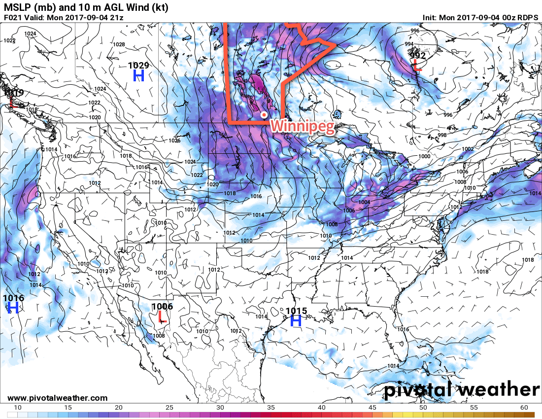
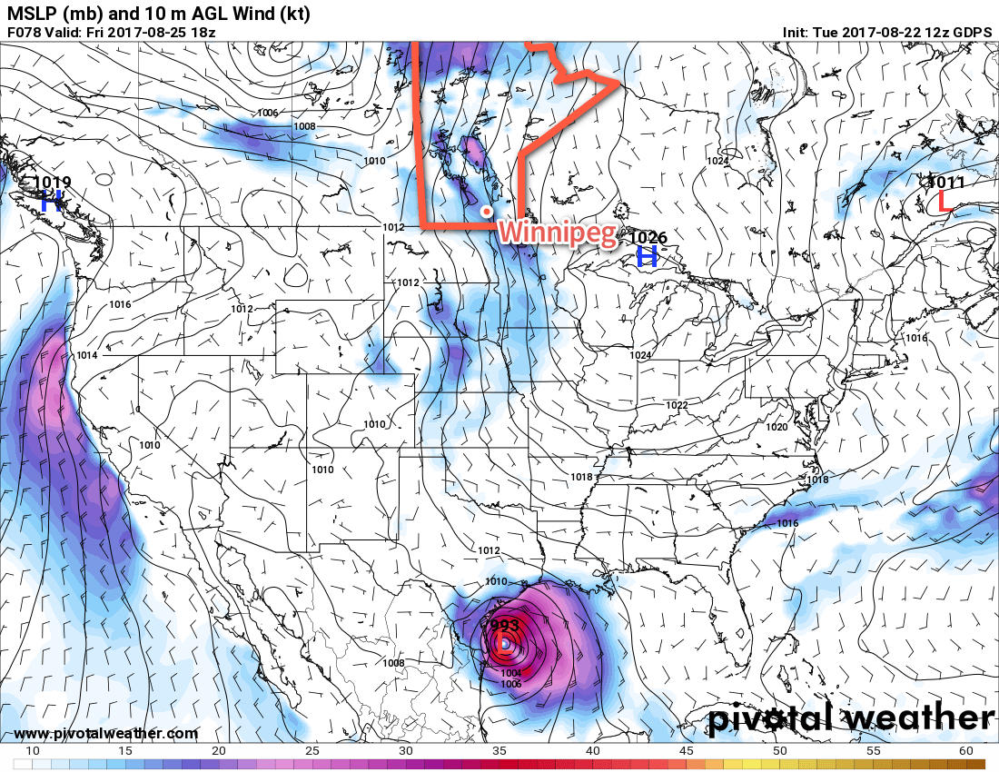
Winnipeg will see a trio of beautiful days ahead as two features keep skies clear and slowly warm things up. The first is an upper-level ridge over Manitoba and the second is a high pressure system in Ontario that continues to exert its influence over southern Manitoba. These two features combined together will keep things sunny, and as the surface high slowly moves off to the southeast, temperatures will climb back into summer-like values.
So both today and Saturday will bring nothing but sunshine to Winnipeg & the Red River Valley with high temperatures of 23°C today and 26°C on Saturday. Winds will be out of the south both days, to around 20-30 km/h today and 30-40 km/h on Saturday. Expect lows near 9°C tonight and near 15°C on Saturday night.
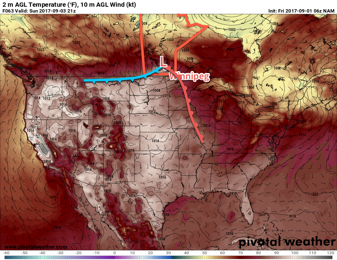
We could see a few clouds on Sunday morning, but overall the day should be fairly sunny. The only fly in the ointment could be a thick layer of smoke spreading in from the west. Temperatures may reach as warm as 30°C, but if there ends up being a lot of smoke it could be a few degrees cooler than that. Winds will continue out of the south at around 30 km/h. A cold front will swing through on Sunday night, bringing some clouds and a chance of showers to the region, however no significant rain is expected with the passage of the front.
Long Range
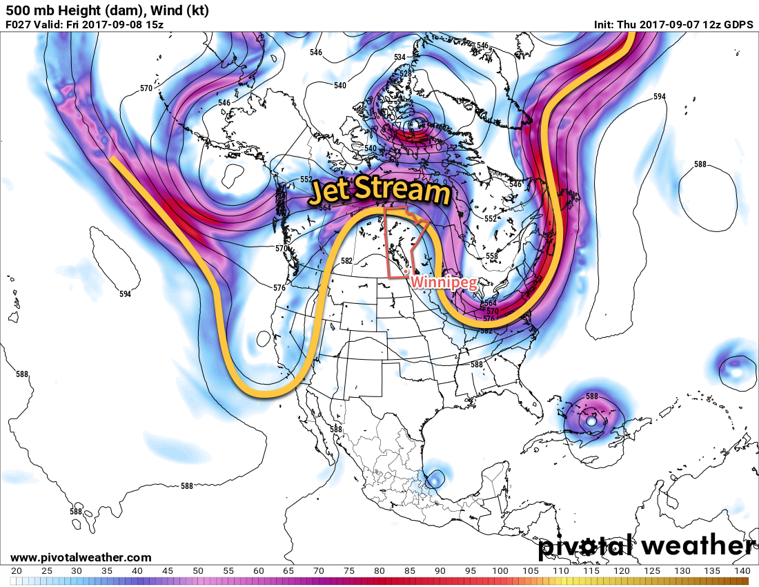
Monday looks to bring mixed skies and lighter winds in the wake of the cold front with temperatures slightly cooler than Sunday. Things then clear out for Tuesday and temperatures continue to remain above-normal through mid-week. A disturbance developing over the Prairies on Wednesday into Thursday will then likely begin bringing more seasonal temperatures, increased cloud, and a chance of showers back to the Red River Valley for the end of the week.
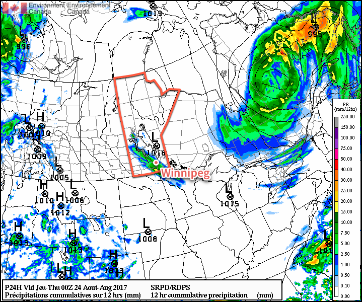
The biggest question mark will be how much smoke ends up in the region, though. With westerly winds, a fair amount of the B.C. forest fire smoke may end up making its way here, and early indications are that there is the potential for it to be the most significant smoke event for Winnipeg so far this year. We’ll be keeping an eye on it!
Winnipeg’s seasonal daytime high is currently 20°C while the seasonal overnight low is 7C.