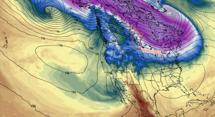
After a couple days of below-normal temperatures, significantly warmer weather is on the way as a wave of warmth surges eastwards across the Prairies. The transition may be a little uncomfortable, but a mild weekend lays ahead.
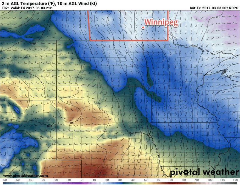
Today will begin the transition to warmer weather in the Red River Valley. That means that while we see the hope of warmer temperatures, we’re buffeted by the reality of harsh southerly winds in the still-present cold.
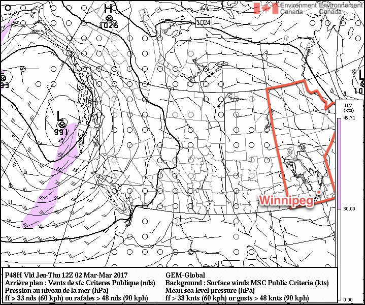
Those south to southeasterly winds will pick up this morning and strengthen to around 30 km/h. Today won’t have a “high temperature” so much as a “climbing temperature.” By this evening, the temperature will have climbed to -7 or -6°C and then will continue to rise overnight to near -5°C by Saturday morning. The winds will remain breezy out of the south to southeast overnight. Skies will cloud over as the day progresses.
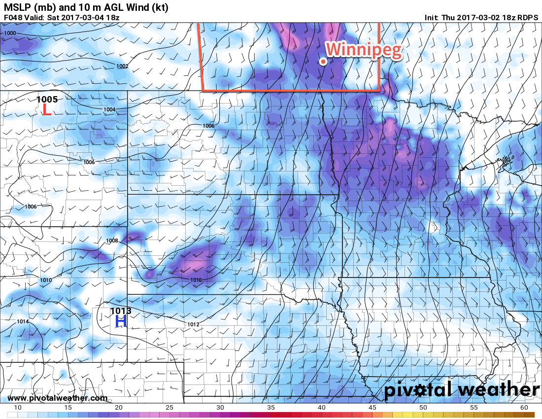
Saturday will see very mild temperatures move into the region as highs climb to about +3°C. However, the winds will strengthen in the morning and then continue through much of the day, sustained near 40 km/h with gusts on top of that. Skies will remain mostly cloudy, but the odd glimpse of sunshine is possible. Winds will diminish fairly quickly in the evening as temperatures fall to a low near -3°C under mixed to mostly cloudy skies.
Sunday will bring mixed to mainly cloudy skies and much lighter winds to the region. With temperatures still climbing to +1 or +2°C, it will be probably the most pleasant day of the next 3. There may be a small chance of some light snow or rain, but indications are that the band will remain light and likely pass northwest of the Red River Valley. Temperatures will then drop to around 0°C on Sunday night with the cloud cover thickening up.
Long Range
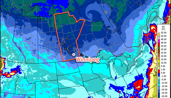
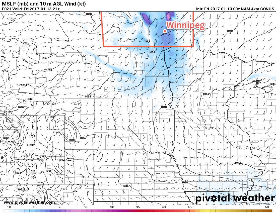
The beginning of next week poses a bit of a challenge as a pair of low pressure systems begin developing over Montana and Colorado, then progress to merge into a potent low pressure system over Nebraska that then lifts north-northeast towards Lake of the Woods.
This system will begin developing on Sunday, with the northern flank of precipitation spreading across southern Saskatchewan and into western Manitoba. A second wave of precipitation is forecast to develop on Sunday night, potentially spreading across SW Manitoba and into the Red River Valley by Monday morning.
Then, as the system intensifies on Monday, the northern flank is to collapse somewhat as all of the energy focuses around the surface low, spreading fairly intense precipitation northwards through the Dakotas and Minnesota into south-central and southeastern Manitoba.
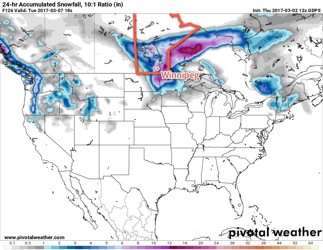
There are a lot of uncertainties associated with this system as of Friday morning. Whenever these deep, potent Colorado Low systems develop with a precursor low further north, there end up being numerous interactions between the two systems that complicate their energy distribution. While the overall solution is believable1, the details matter and are fairly fuzzy at this point. This system will be a combination of rain and snow and have a sharp western/northwestern edge, so a shift of even 50km may mean the difference between snow or nothing, or between some rain or 10 inches of snow.
We’ll be keeping a close eye on this system, and may issues our Monday forecast on Sunday evening if it looks like the system is going to be of significant impact early in the day on Monday. Enjoy the mild temperatures until then, hopefully the wind isn’t too uncomfortable!
- It’s favoured for the southern low to overtake the northern low as it receives more energy from the upper-level jet circulation to its southeast. ↩