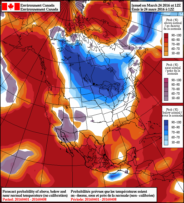
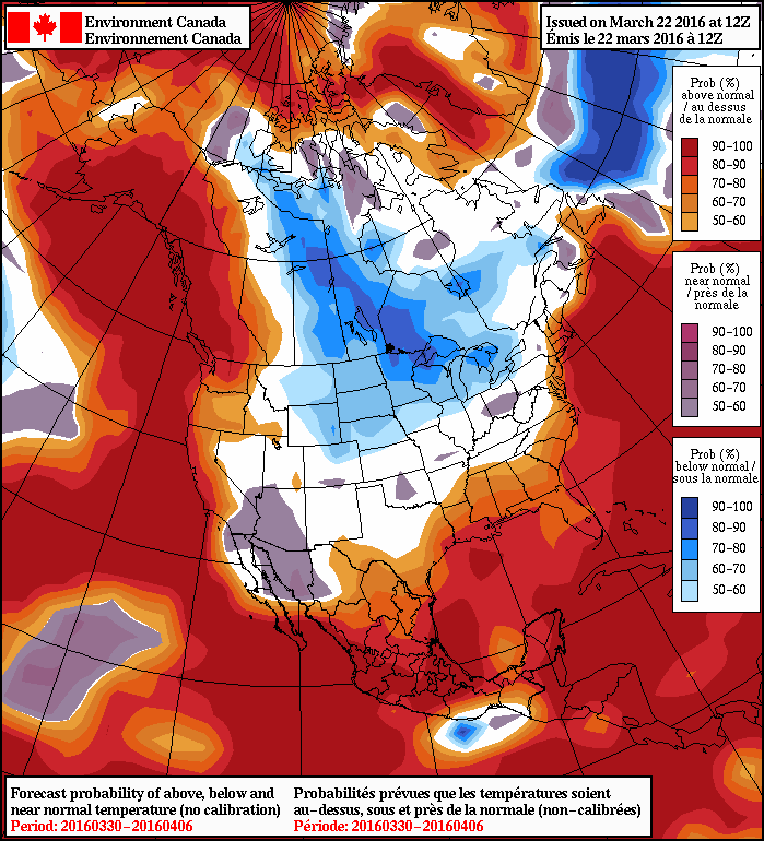
There’s no joke here; April will be off to a cool start as a surge of Arctic air moves into Southern Manitoba today, bringing temperatures 5-10°C below normal to the region through the weekend.
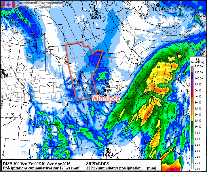
Today will bring a potent little low pressure system that will spread cloud into Winnipeg & the Red River Valley through the morning as it approaches from the northwest. Temperatures will climb to a high near 0°C as snow moves into the region through the afternoon. The bulk of the snow will fall through the late afternoon and early evening, with around 2-4cm expected across the region.
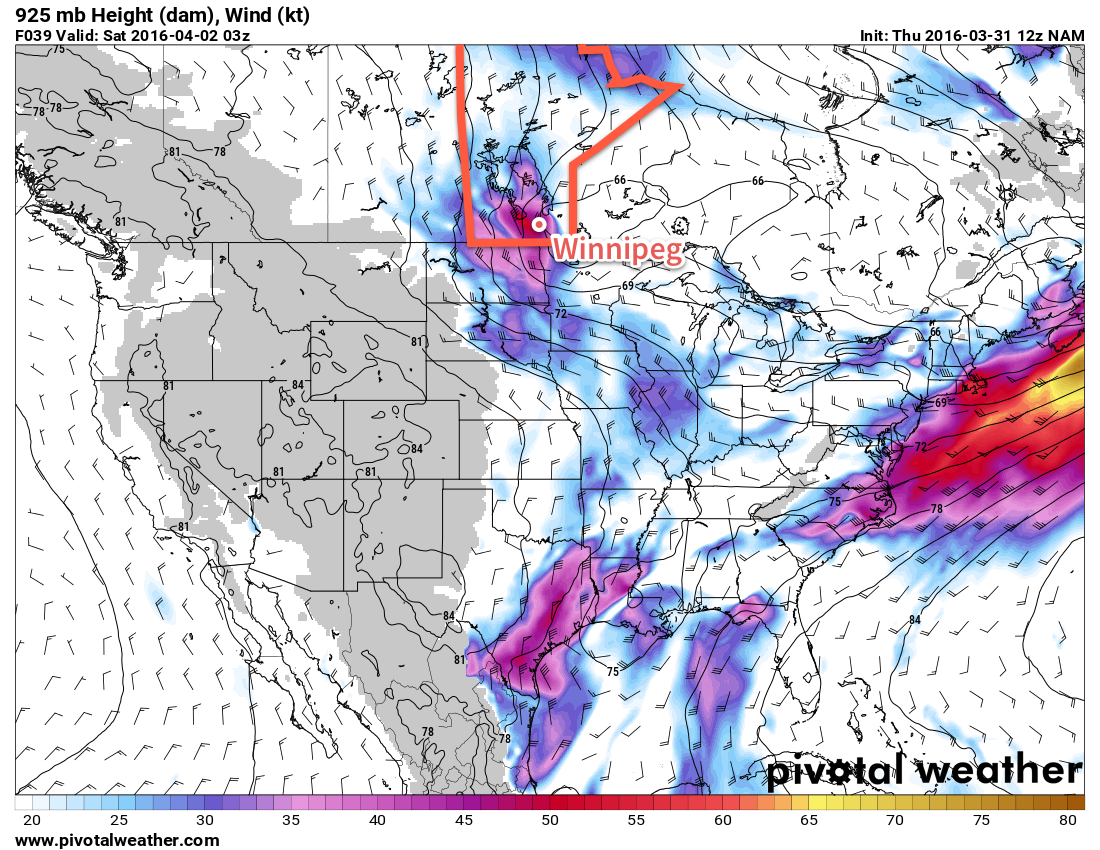
Behind the low pressure system, a cold front surges southwards and very strong northerly winds are expected to move through the Red River Valley, with the strongest winds occurring between around 9PM and 2AM. The winds will peak with sustained winds of 50-60km/h and gusts as high as 80km/h. As the winds taper off overnight, skies will clear and temperatures will drop to a low near -9°C.
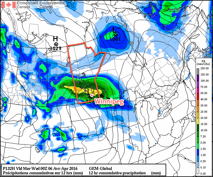
Saturday will be a calmer day that acts as a brief reprieve while the next low pressure system organizes over the western Prairies. The day will start off fairly sunny, but more cloud will begin moving in from the northwest through the afternoon as the next system begins approaching the province. Daytime highs will sit near -1°C with light winds. Temperatures will fall to around -6°C on Saturday night with some light snow building into the region. Winds will pick up out of the east through the night.
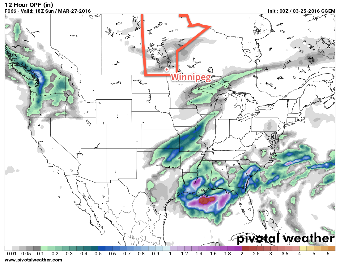
Sunday will bring some more snow to the region as the next low passes through. The organized snowfall will taper off through the morning then diminish to some flurries through Sunday afternoon. Daytime highs will be near 0°C with winds shifting to the north through the afternoon.
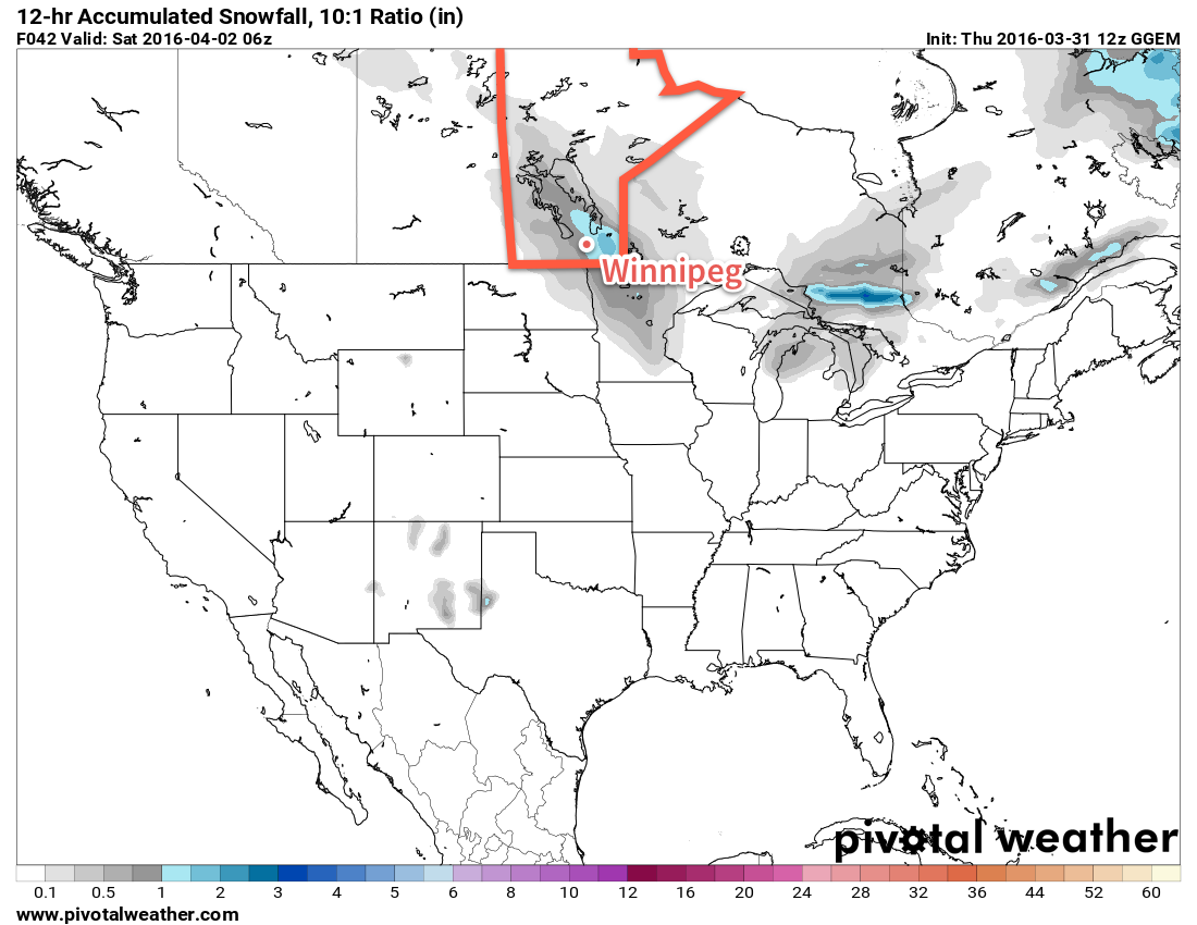
By the time all is said and done, it looks like this second system will produce another 2-4cm of snow in Winnipeg, however some models hint at some more intense snowfall possible with this system; we’ll keep an eye on it as it develops. Skies will clear out on Sunday night with temperatures dropping to -9°C or so on Sunday night.
Long Range
Temperatures will continue below-normal into the start of next week. The biggest story, though, is the chance for a major winter storm early next week.
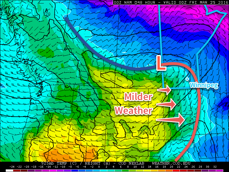
Several models are picking up on a storm system moving through Southern Manitoba on Tuesday that will bring windy conditions alongside the potential for 10-20cm of snow. It’s too early to get into many specifics but this system would bring rain, freezing rain and snow into the province. We’ll be keeping an eye on this one and have more details in Monday’s forecast!
Winnipeg’s seasonal daytime high is currently 5°C while the seasonal overnight low is -6°C.