A low pressure system crossing the province will bring rain to Winnipeg today, but its cold front will usher in cooler weather for the weekend.
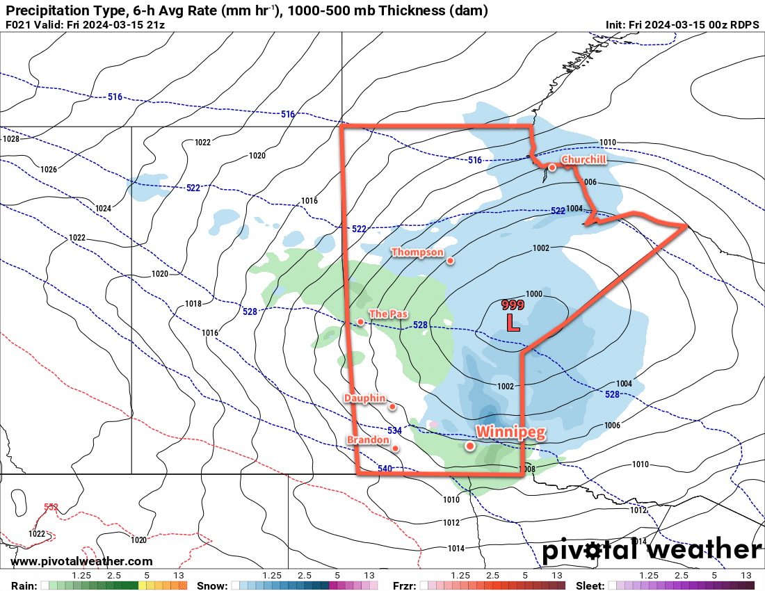
As we mentioned on Tuesday, a low pressure system will drop through Manitoba today, spreading a large area of precipitation across the region. An area of snow mixed with rain will spread southeastwards out of central Manitoba this morning, gradually transitioning to mainly rain as temperatures warm through the day. In Winnipeg, precipitation will begin midday; with temperatures near 0 °C, it will likely start as snow, but as temperatures climb towards a high near 5 °C in the afternoon, it will change over to rain quickly. Periods of rain will be likely through the afternoon with westerly winds up to 40 gusting 60 km/h.
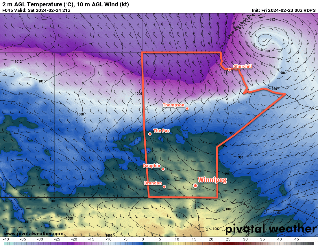
In the evening, a cold front will sweep through the region and usher in northwesterly winds up to 40 gusting 60 km/h. The front will bring an end to the rain, replacing it with a chance of flurries that will last through the night and into Saturday morning. Temperatures will head to a low near -5 °C.
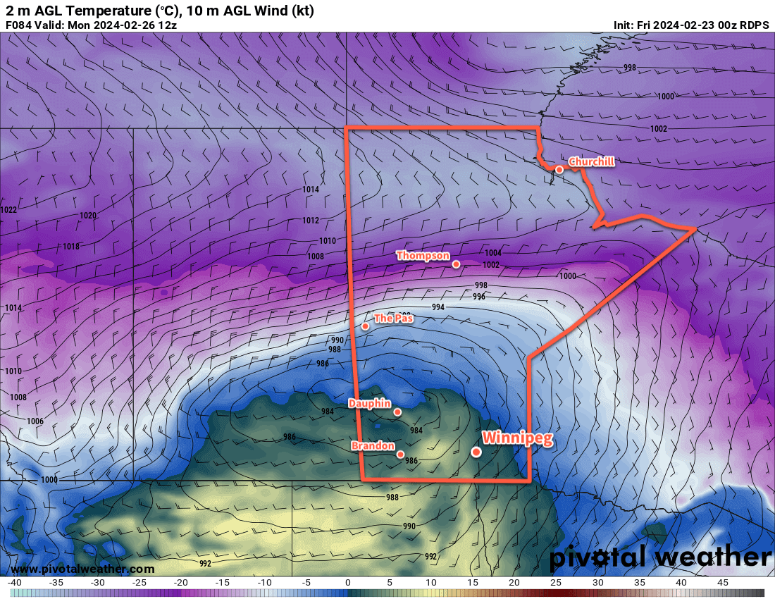
For the weekend, the weather will be shaped by a large Arctic high that will slowly slump into the province. This will result in a gradual break-up of the cloud cover in the region as a cooler air mass pushes into the region. Daytime highs will slump into the -5 to 0 °C range on Saturday and near -5 °C on Sunday. Overnight lows will dip down into the minus teens both nights. Winds will be breezy through the weekend with northwest winds of 30 to 40 km/h on Saturday easing into the 20 to 30 km/h range on Sunday.
Long Range Outlook
Another disturbance will pass through the region on Monday and bring another push of warmer air. Daytime highs should climb back up close to +5 °C on Monday with moderate southerly winds.
Behind this system, an upper trough is forecast to dig into the Prairies; this will bring cooler temperatures for the rest of next week with daytime highs falling below 0 °C. Much of the week will be dry, but there could be accumulating snow across southern Manitoba mid-week.
Today’s seasonal daytime high in Winnipeg is -1 °C while the seasonal overnight low is -11 °C.