The latest shot of Arctic air is set to be ushered out thanks to an extremely powerful storm north of 60 that will flood the Prairies with mild Pacific air and push our temperatures well above normal by week’s end. The big questions is: will it stick around?
Bitter Cold in Mid-Week Slump
We’ll see bitterly cold temperatures before our big warm-up as yet another very strong Arctic ridge slumps through the province. We’ll see fairly strong winds at around 30km/h gusting to 50km/h out of the northwest this morning and little-to-no recovery from our overnight low today as temperatures struggle to climb before falling to about -27°C this afternoon thanks to the cold air mass that’s pushing in. Blowing snow may remain an issue through the morning hours until the wind begins to taper off. Some cloud cover will linger in the region, but overall it should be a mainly sunny day as it often is when we have these very cold air masses incoming.
Temperatures will drop off to around -32°C or so tonight under clear skies with fairly light winds. Wind chill values will dip to the -37 to -40 range, but it doesn’t look like the criteria for a wind chill warning[1] will be met so I don’t expect any warnings to be issued for Winnipeg.

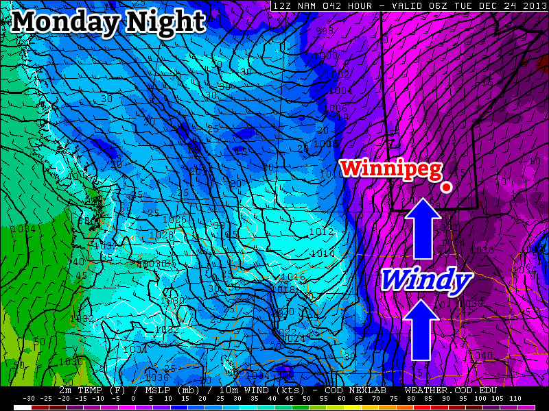
Thursday will be our transition day, much like (but not quite as strong as) last Wednesday[2], with temperatures warming to around -10°C by day’s end. With such warm air relative to the very cold air that will be entrenched in the valley, a strong inversion will develop which will aid in producing fairly strong winds. They will strengthen as we begin to warm up in the late morning into the afternoon to around 40-50km/h out of the south/southwest. The wind will conspire to make it feel quite a bit cooler than our advertised high would imply, and we may also see localized blowing snow through the valley which could make travel on some roads a little more difficult. A widespread blowing snow event is not expected.
Clouds will roll in through the afternoon as we begin to fall into the influence of the massive storm rolling through the Arctic. There will be a chance of some flurries overnight as our temperature continues to rise to around -7°C although most of the snow activity should stay to our east.
Mild Friday To End Week
Friday will start off on a great foot with temperatures quickly climbing towards -2°C with mixed skies and southwesterly winds at around 30km/h. A weak cold front will push through the Red River Valley midday which will cool off our temperatures slightly, but the bigger impact will the the potential for some snow as the front passes through and then stronger northerly winds in behind it strengthening possibly up to 40km/h with gusts to 50-60km/h. This strong northerly wind will tap into cooler air to our north and dip our temperature from our daytime high of -2°C to around -8 or -9°C by the early evening.
Friday night will bring clear skies as we dip towards -17°C for our overnight low.
Uncertain Weekend Ahead

The weekend is a bit of a wildcard at this point…for the most part. The one thing that’s certain is that we’ll plunge back into the deep freeze by the end of it. After Friday’s cold front, there will be a lull in the progress of the Arctic air as the entire atmosphere pivots with the next shot of cold air pushing in from the high Arctic. As the atmosphere takes this pause, a strong baroclinic zone[3] will develop and align NW/SE through the Prairies. There will be light snow along most of the baroclinic zone as it ripples back and forth with weak impulses, but it’s futile to attempt to pin down exactly where it will lie; models tend to have a lot of difficulty in correctly placing these features.
It does seem like the feature will set up further to our west than the last one and we’ll likely remain east of any snowfall. A disturbance will ripple down the baroclinic zone on Sunday which may bring us some light snow and will usher in the bitterly cold air in behind it.
-
a. Wind chill values of -40 or lower.
b. Winds greater or equal to 15km/h.
c. Conditions (a) and (b) both being concurrently met for 3 consecutive hours or longer. ↩ - …where the temperature rose from -27.1°C in the morning to 3.3°C in the afternoon; a whopping 27.4°C (January 15, 2014). ↩
- A region of strong temperature gradients. ↩