Cool and Quiet Weather Ahead

Fairly quiet weather is on tap for Winnipeg as the Arctic air mass that has been entrenched over the region is reinforced by numerous weak systems drifting southwards in the northerly flow over the province. As a result, temperatures will remain well below normal through the weekend with some flurry activity possible.

Friday
-7°C / -15°C
Mainly sunny
Saturday
-8°C / -15°C
Mixed skies with a chance of light flurries
Sunday
-6°C / -12°C
Mainly cloudy with a few flurries

Today will be the nicest day of the next few with sunny skies as we head towards a high of around -7°C. Winds will be relatively light out of the west at 15-25km/h. Tonight will see a low near -15°C.

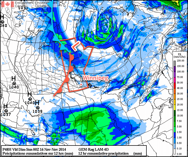
Saturday will bring mixed skies once again with a high near 8°C as winds shift back to northwesterly behind a weak trough moving through and lake-effect flurries start up again. No accumulations are expected, but you may see a few flakes in the air throughout the day on Saturday. Heading into Saturday night, a low pressure system that is making an extrodinary trip from essentially the North Pole straight to Southern Manitoba will begin working into the region. Cloud and a few flurries will spread into the region ahead of it through Saturday night.

The incredibly amplified flow over North America will bring a low pressure system from the high arctic straight south through Manitoba this weekend.

Sunday will be a mainly cloudy day with some light flurries through the Red River Valley. Northwesterly winds will result in some slightly heavier snow in the lee of the Manitoba lakes, however no significant accumulations are expected. The ability for the lakes to produce heavy snowfall is rapidly diminishing as ice cover continues to grow and expand, covering up the open water.

With all the cloud around and northwesterly winds in place, temperatures should climb a couple degrees warmer than Friday or Saturday to around -6 or -5°C. Heading into Sunday night, the clouds will likely break up a little bit, although the chance for flurries will continue. The low should drop to around -12°C, however it may end up a couple degrees warmer or cooler depending exactly on how much clearing takes place.

Quiet Pattern Continues

Looking ahead to next week, temperatures look to remain fairly steady with little expected for snowfall. Long-range outlooks show a move out from below-normal temperatures, but that’s more a result of the normal highs gradually falling. No major snowfalls are in the foreseeable future.

Flurries Taper Off, Cool Weather Continues

A reinforcing shot of Arctic air is pushing into Southern Manitoba for the remainder of the week. The cooler weather will gradually settle things and bring more sunshine than we’ve seen in the past while to the region, but before that happens another day of flurries lies ahead.

Wednesday
-5°C / -9°C
Periods of snow
Thursday
-7°C / -14°C
Mixed skies; chance of light flurries
Friday
-9°C / -15°C
Mainly sunny

Today will bring mainly cloudy skies with flurries continuing to drift southwards from the Interlake as general instability coupled with optimal temperature profiles[1] results in periods of snow throughout the day today. Snow will begin tapering off in the late afternoon or evening as clouds begin to break up and the northerly winds around 30-40km/h shift more northwesterly and gradually weaken.

Temperatures will climb to a high around -5°C and drop to -9 or -10°C tonight.

The forecast sounding for noon today in Winnipeg shows the deep layer of favourable snow-making temperatures – shown in white – that will be in place Wednesday and Thursday.
The forecast sounding for noon today in Winnipeg shows the deep layer of favourable snow-making temperatures – shown in white – that will be in place Wednesday and Thursday.

Thursday will bring mixed skies as clouds gradually clear throughout the day. The same temperature profile will be in place as today, so any low-level clouds will likely be able to produce some light flurry activity, but nothing significant is expected. Winds will shift to westerly at around 15-25km/h for much of the day as a ridge of high pressure slumps into the Dakotas from Saskatchewan. Expect a low near -14 or -15°C under clear skies on Thursday night.

Friday will be a beautifully sunny day, but it comes with the cost of being the coldest day so far. With relatively light west to southwesterly winds flowing out of the high pressure system to our south and southwest, temperatures will climb only to around -9°C. Temperatures will drop back into the mid-minus teens on Friday night under clear skies.

Cold Weather, Flurries for the Weekend

This weekend looks to bring flurries back to Southern Manitoba as another cold front pushes through on Saturday night. Snow will likely be found along the front as well as behind it through the day on Sunday as another unstable northwesterly flow develops.

The GDPS is showing another round of flurries pushing through the Red River Valley on Saturday night into Sunday morning.

Cold weather is expected to continue behind the front as another shot of Arctic air moves into the province.


  1. Snow grows best in temperatures between around -8°C to -15°C between the surface and around 700mb. The thermal profile over Winnipeg matches those temperatures nearly exactly which will make it very easy for snow to develop.  ↩

First Taste of Winter

This week will feature our first taste of winter as a cold arctic air mass descends on southern Manitoba.

Cold weather will descend on southern Manitoba this week

Monday

Monday
-5°C / -8°C
Mainly cloudy with chance of flurries

Today will be one of the coldest days we’ve seen so far this fall. High temperatures will stay on the minus side of zero with the possibility of light flurries throughout the day. There will be a breezy north wind as well, but overall it shouldn’t be too unpleasant.

Tuesday

Tuesday
-4°C / -5°C
Mainly cloudy with chance of flurries

Tuesday will feature weather that is very similar to that experienced on Monday. High temperatures will once again remain in the minus single digits with a chance of flurries. The wind will once again be from the north, at 20-30km/h.

Wednesday

Wednesday
-3°C / -6°C
Flurries

Sub-freezing weather will continue on Wednesday, with high temperatures in the minus single digits yet again. Flurries will be likely throughout the day, and some light accumulation may even occur. The wind will be gusty and from the north or north-west.

Long Range

The long range forecast suggests we will see wintry conditions continue for the foreseeable future. Thankfully, no major snowfall events are currently in the forecast. Snow cover dramatically affects our temperature regime, so the longer we can avoid the white stuff the longer we will avoid really cold conditions!

Elsewhere in Weather News: November 8th, 2014

Super Typhoon Nuri Transitions into Strong Extratropical Storm

The Western Pacific continued to be active this past week, spinning up yet another violent storm, which thankfully remained at sea and did not impact land. Nuri formed late last week west of Guam and slowly drifted west-northwest. It organized itself as conditions became ideal for strengthening of the typhoon: sea surface temperatures were very warm and wind shear was low. Nuri became a super typhoon last weekend as it deepened to a central pressure of 910mb and brought estimated sustained winds of 285km/h – similar conditions to what super typhoon Vongfong had at its peak this past October. Up to date, these two are tied for the strongest tropical storm of 2014. Nuri quickly curved Poleward before reaching Japan, sparing the Japanese islands from the storm.

IR satellite image of Nuri as it held super typhoon strength this past Sunday/Monday. (Source: Soumi NPP VIIRS)

Nuri did not end there, however. As it got captured by the polar jet stream, it transitioned into an extratropical storm. Extratropical storms are the low pressure systems that we see across the mid-latitudes, including here in Manitoba. They have significant differences from their tropical brethren, the most significant being that extratropical storms have warm and cold fronts that generate energy for the storm, as opposed to tropical systems that have generally uniform temperature. As the remnants of Nuri transitioned into the Polar Jet they strengthened once again, aided by a strong temperature gradient aloft.[1] Projected wave heights on the Bering Sea neared 50 feet as the storm “bombed” out[2] on Friday to a minimum pressure of 927mb. Extremely strong winds were recorded on the Aleutian Islands, where gusts exceeded 150km/h.

Satellite picture of the remnants of Nuri as an extratropical storm on Friday.

The remnants of Nuri are expected to continue moving towards Alaska but weaken significantly by the time they reach the Alaskan shores, as the low pressure system enters its weakening phase.

Alaskan Bomb Results in Arctic Outbreak over Central & Eastern North America

The intense storm over the Aleutian Islands is also indirectly responsible for the outbreak of cold air expected in the coming week over much of North America. As the system intensifies over the Aleutian islands, a strong upper-level ridge will build over the west coast of North America which will cause a resultant upper level trough to deepen over the remainder of the continent.

The GDPS shows prominent ridging over the west coast of North America, resulting in a deep upper-level trough over central & eastern North America.

The deep upper-level trough will allow the cold air that’s been bottled up in the Arctic to spill southwards, resulting in well below seasonal temperatures across a significant portion of Eastern North America. The developing upper-level pattern is a fairly stable configuration for the flow, so no significant changes will likely occur in the next week or two other than gradual moderation.


  1. The strong temperature gradient was easily evident by a very strong jet streak of over 130 knots – that’s over 240km/h – at 500mb!  ↩
  2. A system has “bombed” when its central pressure drops 24mb or more in 24 hours.  ↩